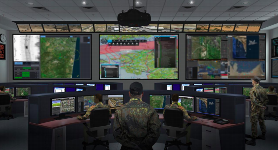
NATO has awarded Thales the new increment to provide an operational situational awareness system that will give NATO commanders a shared picture of an area of interest or mission to enhance overall awareness of joint forces operations and support mission planning, coordination and command.
Joint operations today involve land, air and naval units with many different types of command systems, which generate huge amounts of georeferenced operational information. NCOP will capture, aggregate and correlate all this information to generate a single, comprehensive picture of the theatre of operations, providing a Common Operational Picture (COP) that will ensure that each entity has a shared view of the location, actions and intentions of the forces in the field.
To meet this requirement, Thales has developed a software system based on an open architecture, with specialised modules that draw on the company’s experience of different aspects of the command chain and are fully compliant with commercial and military standards. This system is designed to provide the operational community with secure access to multiple COPs overlays on a geospatial reference. Tactical information from multiple systems and data sources will improve situational awareness for joint forces.
Each COP is displayed in real time and shows key elements such as operations in progress, friendly and enemy forces, their logistics and operational capabilities, weather conditions and possible action plans for future coordinated efforts.
NCOP allows for synchronised management of all deployed forces and provide effective support for collaborative planning and decision-making in an operations centre. This in turn will enable joint forces command to achieve information superiority.
Thales will upgrade the technology used in the current system, which has been in service at NATO command centres since 2015 and national command centres in France, Poland and Spain. Thales will also add new functionality for time management, event correlation and future strategic
analysis.


